


9. GeoForum MV 2013
Präsentationen
Die Textbeiträge zum GeoForum MV 2013 sind als Buch erschienen.
| Vortrag | Bild | |
Open GeoData |
||
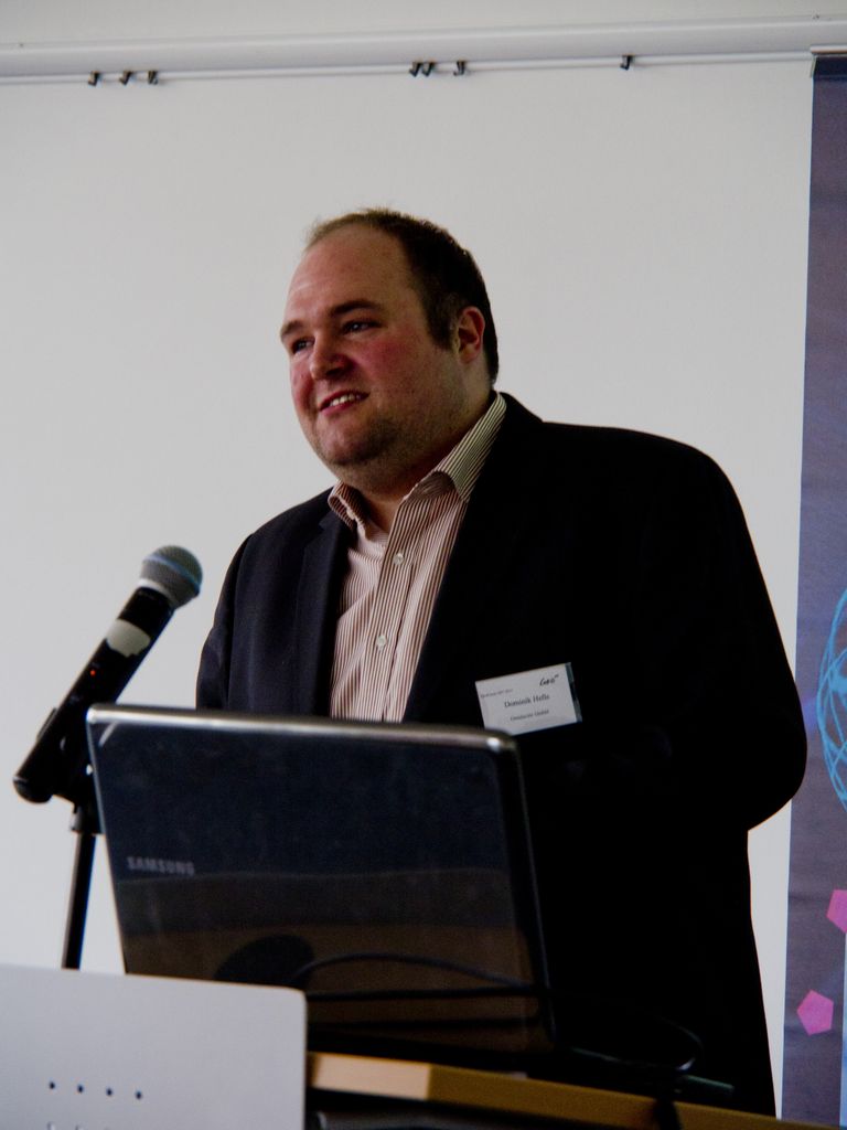
| Entwicklung der offenen Regionalkarte Mecklenburg-Vorpommern Herr Dominik Helle, Omniscale GmbH & Co. KG, Oldenburg |
 |
|
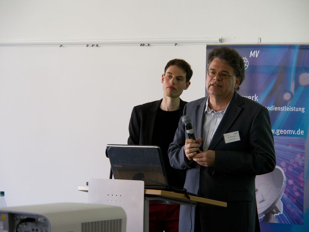
| Offene Daten im Portal "OpenData.HRO" Herr Dr. Detlef Neitz, Hansestadt Rostock |
 |
|
3D-Stadt |
||
Vom Luftbild zum 3D Stadtmodell zum Anfassen |
 |
|
| Kopplung von 3D-Stadtmodellen mit Cloud-Diensten Herr Claus Nagel, TU Berlin |
 |
|
Mobile GIS-Applikationen & Geobasisdaten |
||
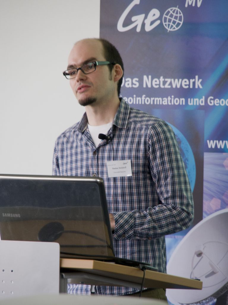
| Einsatz eines mobilen GIS zur Kartierung von Bodenerosion durch Wasser Herr Bastian Steinhoff, Leibnitz Universität Hannover |
 |
|
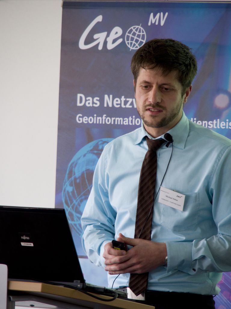
| GIS- und Bildbasierte Erfassung
von Straßendaten Herr Heber, Lehmann und Partner |
 |
|
| Mit Geobasisdaten zur interaktiven 3D-Visualisierung Frau Stephanie Kühnlenz, Software-Service John GmbH, Ilmenau |
 |
|
OpenStreetMap |
||
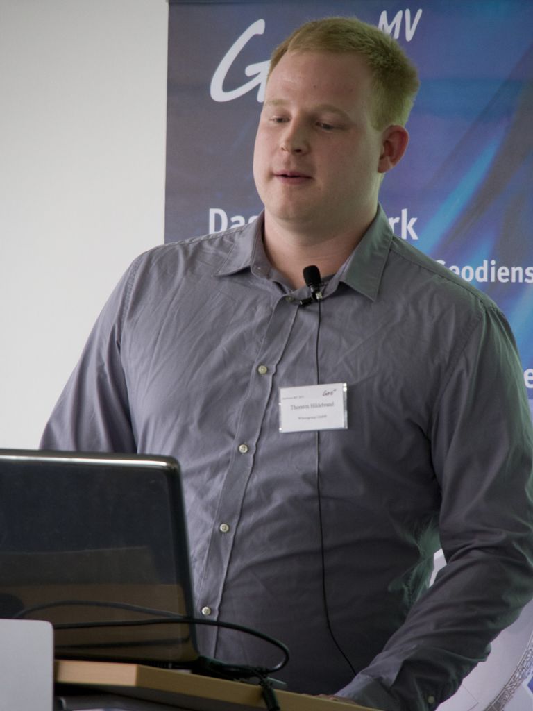
| OpenStreetMap in der praktischen Nutzung - Beispiele aus Telematik,Industrie und Verwaltung Herr Thorsten Hildebrand, Wheregroup GmbH & Co. KG, Bonn |
 |
|
| OpenStreetMap hebt ab – die freie Weltkarte in 3D Herr Matthias Meisser, Universität Rostock |
 |
|
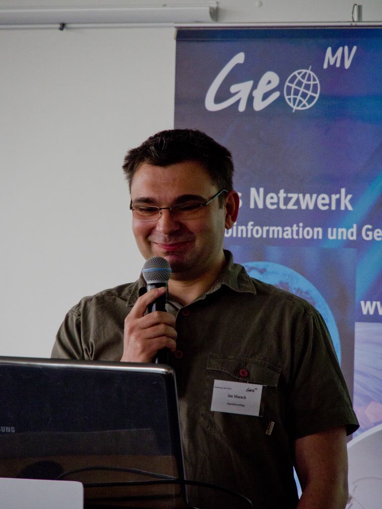
| OSM Buildings – 3D Gebäudevisualisierung mit JavaScript Herr Jan Marsch, OSMbuildings.org, Berlin |
 |
|
WebGIS |
||
| Geodatenanwendungen in e-Government-Infrastrukturen - Beispiele für kommunales Informationsmanagement in Hamburg Herr Sascha Tegtmeyer, Freie und Hansestadt Hamburg |
 |
|
| Anforderungen und Möglichkeiten an die georeferenzierte Darstellung von FFH-Gebieten im Internetportal wald-mv.de Herr Christof Heinzel, Insecia GmbH, Potsdam |
 |
|
| Einsatzbereiche für webbasierte Informationssysteme: SGJ-GeoHornet als Basissystem geostatistischer Auswertungen im Internet Herr Christoph Averdung, CPA Systems GmbH, Siegburg |
 |
|
INSPIRE und Kommunale Anwendungen |
||
| INSPIRE Downloaddienste – Bereitstellung von Geodaten für die Europäische Geodateninfrastruktur Herr Armin Retterath, Koordinierungsstelle GDI-DE, Frankfurt |
 |
|
| Kommunales Objektmanagement in Raum und Zeit Herr Christian Fietz, BTFietz GmbH, Rostock |
 |
|
| Kommunale Anwendungsszenarien der Geodienste-Plattform des brain-GeoCMS Herr Prof. Dr. Ronny Weinkauf, brain-SCC GmbH, Merseburg |
 |
|
Prozesse und Modelle |
||
| Geoinformation als Bestandteil von Prozessen und Abläufen Herr Robert Walter, Herr Holger Bronsch, ARC-GREENLAB GmbH / AED-SICAD AG, Hannover |
 |
|
| Regelbasierte 3D-Modellierung urbaner Landschaften: 3D-Stadtmodelle mit CityEngine und ArcGIS Frau Christina Röhr, Esri Deutschland GmbH, Leipzig |
 |
|
| Populationsmodell des Westlichen Maiswurzelbohrers unter Nutzung von WebGIS-Technologien Tim Balschmiter, Julius Kühn-Institut, Kleinmachnow |
 |
|
Planung |
||
| Solare Bauleitplanung – GIS-gestützte solarenergetische Prüfung von Neubauvorhaben Frau Britta Hermes, IP SYSCON GmbH, Berlin |
 |
|
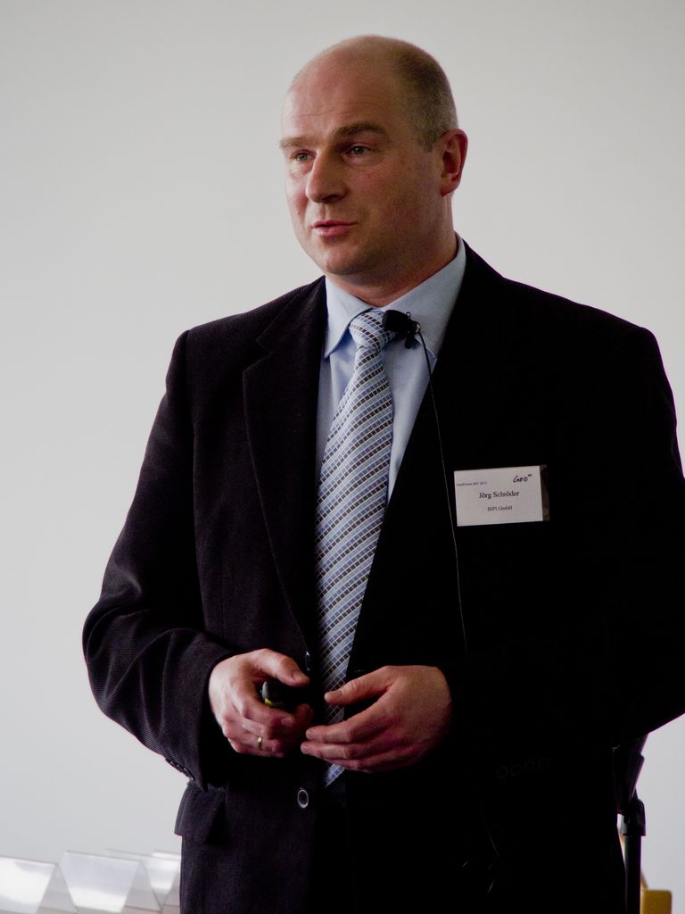
| Quali-X: Nachhaltigkeit in der Bauleitplanung des Landkreises Nordwestmecklenburg Herr Jörg Schröder, Geoinsoft GmbH, Wismar |
 |
|
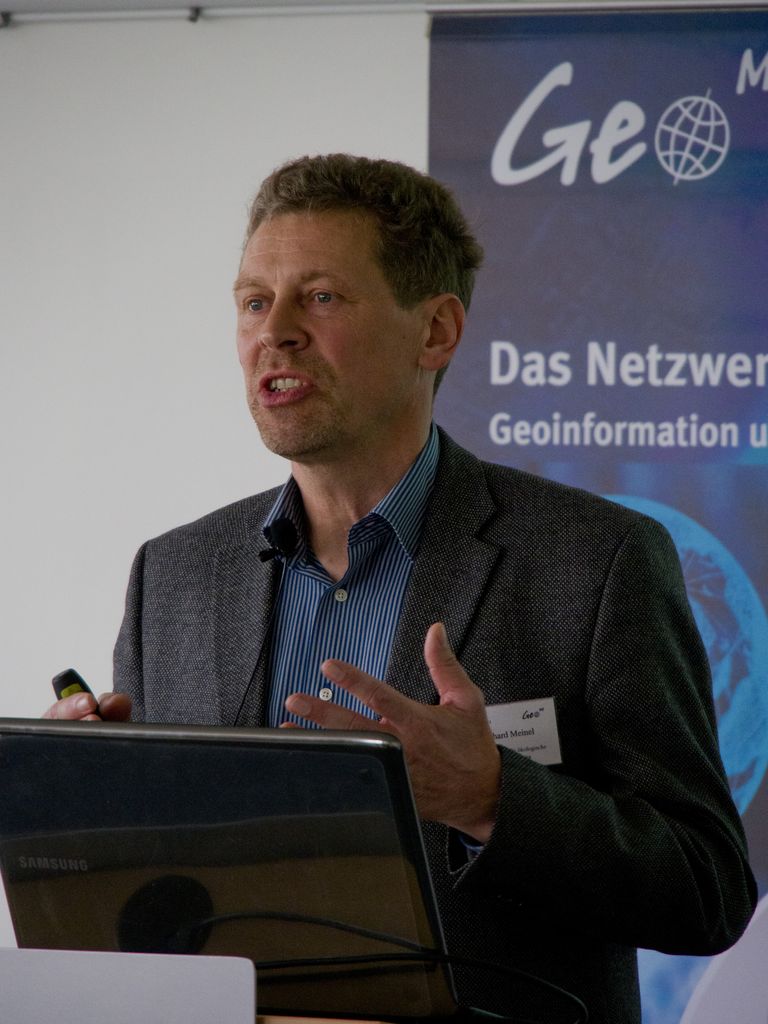
| Flächennutzungsmonitoring auf Grundlage des Digitalen Landschaftsmodelles ATKIS und von Gebäudegeometrien Herr Gotthard Meinel, Leibniz-Institut für ökologische Raumentwicklung, Dresden |
 |
|
Basistechnologien |
||
| Echtzeitinformationen in sicherheitskritischen GIS-Anwendungen Herr Gebert, Fraunhofer IFF Magdeburg |
 |
|
| Das Umweltinformationssystem Mecklenburg-Vorpommern Herr Roland Völz, Landesamt für Umwelt, Naturschutz und Geologie M-V, Güstrow |
 |
|
| Unternehmensforum (keine Textbeiträge) | ||
| GAIA-MV und Geodateninfrastruktur M-V Herr Marco L. Zehner, DVZ M-V GmbH, Schwerin |
 |
|
| IP SYSCON Herr Thomas Kernchen, IP SYSCON GmbH, Berlin |
 |
|